
City of Melbourne releases draft City Road master plan

The City of Melbourne has released its draft City Road master plan and published a plethora of documents on its Participate Melbourne website.
The proposed changes include introducing planted median strips in the Kings Way to Power Street section of City Road and in Alexandra Avenue. Slip lanes at the major intersection of City Road and Southbank Boulevard look set to get the chop and there are 3 new pedestrian crossings proposed at Clarke Street, Balston Street; and on Alexandra Avenue to provide a higher quality link between the Alexandra and Queen Victoria gardens.

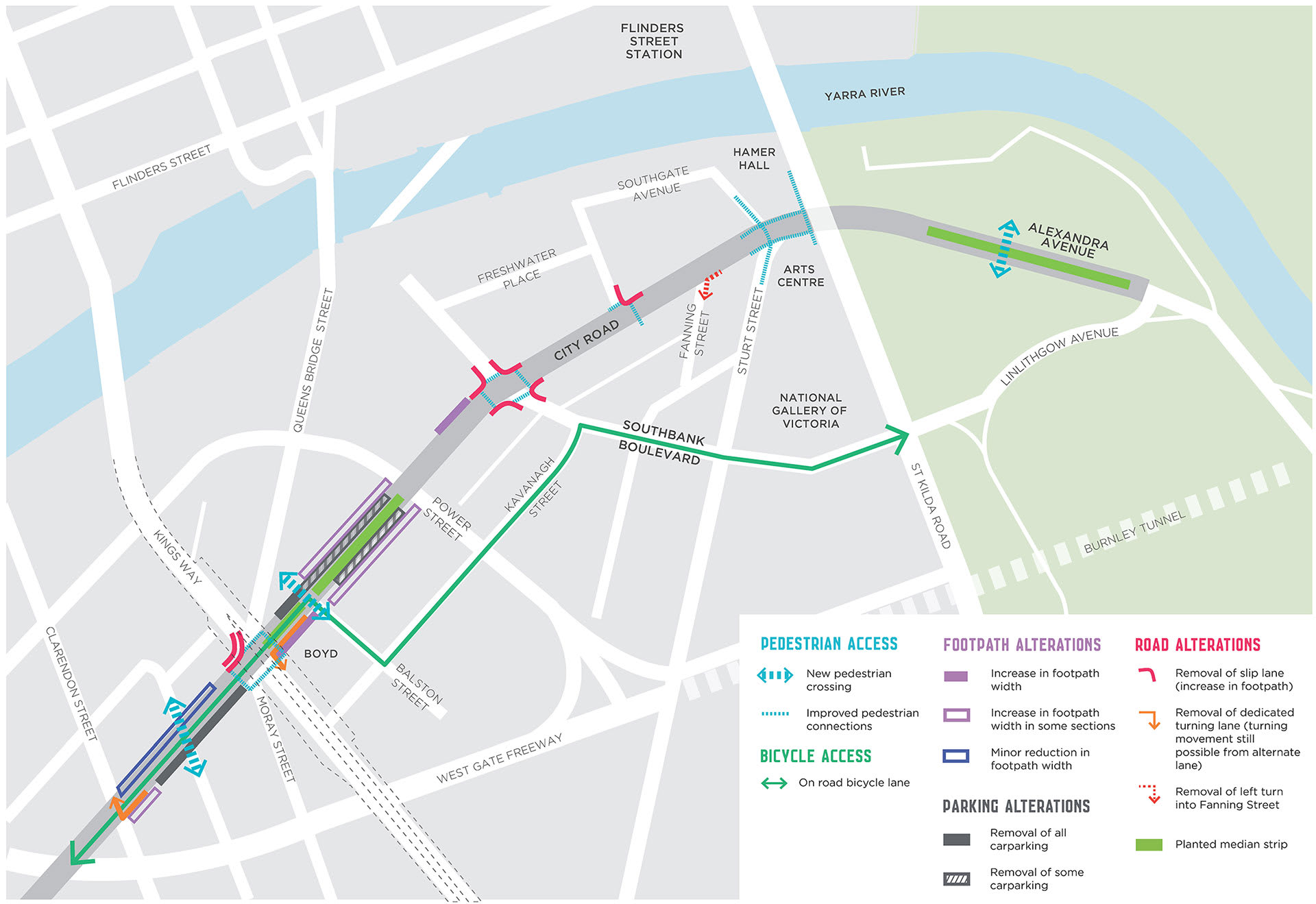
The intersection of Moray Street / Queensbridge Street / City Road (with Kings Way flying over the top) - which once had a proposal to have a roundabout installed dubbed 'Southbank circus' - is set to see improved pedestrian crossings. There is a proposal to reimagine the space in the Kings Way undercroft and likewise the pedestrian crossings on the Southbank Boulevard / City Road intersection are set to be improved thanks to the removal of the slip lanes.
The intersection with Sturt Street, City Road and Southgate Avenue is set to see improvements as well.
A major pan-Southbank cycling route is also proposed with cyclists being funneled toward St Kilda Road (coming from the south west) via City Road to Balston Street, then along Kavanagh Street and Southbank Boulevard.
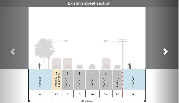
The western end of City Road is proposed to have a somewhat noteworthy road reconfiguration with a reduction in footpath width along the northern side, the removal of parking on the southern side and the introduction of fully separated bike lanes and bus/transit lanes.

At the intersection of Sturt Street and City Road a new pedestrian bridge is proposed to enhance connectivity between St Kilda Road and City Road as well as the River. A new ramp from St Kilda Road, located to the southside of Hamer Hall, is also proposed.

All in all 40 on street car spaces are set to be removed, located mainly up the western end of City Road and draft master plan predicts the main car journey impacts will be limited to an extra two minutes in travel time for westbound journeys in the AM peak.
The primary benefits according to the draft master plan include reduced walking distances between pedestrian crossings on City Road (average distances reduced from 240m to 170m), 9,000 square metres of new public space, 1,280 square metres of new footpath space, a net gain of 108 new trees and three upgraded bus and tram stops.
The City of Melbourne will be running walking tours where participants will be able to find out more about the proposed actions in the draft master plan on Wednesday 30th September between 5:15pm and 6pm, Thursday 8th October between 1pm and 1:45pm and on Saturday 10th October between 10:30am and 11:15am. Participants need to RSVP on the Participate Melbourne website and the tours will depart from Southbank Library.
To view the draft master plan and provide your own feedback on the draft master plan, visit the Participate Melbourne website.
Lead image credit: Participate Melbourne.