
Melbourne's development by tram: the 19
Weighing in at 43 projects, the route 19 tram on the Sydney Road corridor has the potential for a very big uplift in public transport passenger carrying capacity thanks to the Upfield line running adjacent to the tram.
Having said that, the Upfield line is a long way from seeing train frequencies increase (a significant boost is not likely to come before the completion of the Melbourne Metro Rail project) and I'd expect the route 19 to do the bulk of the work of delivering frequent transit through the heart of Brunswick for a long while yet.
The route 19 begins at the Flinders Street Station terminus on Elizabeth Street in the CBD and travels up to the Haymarket roundabout and then heads directly north up Royal Parade and Sydney Road. The scope of this case study begins at the boundary of the City of Melbourne and City of Moreland on Park Street.
The majority of the development pipeline is in Brunswick, south of Moreland Road, with a major cluster around Albion Street/Anstey Station and from Anstey southwards, the pipeline is quite consistently spaced all the way down to the City of Moreland municipality boundary.
North of Moreland Road, through the upper-end of Brunswick and into Coburg, the tram corridor has a handful of projects with a smaller cluster of projects around the periphery of Coburg, including in the former Pentridge prison grounds. Batman station, near the end of route 19, has two projects in the pipeline.
The numbers
| Aspect | Number of projects | Number of dwellings |
|---|---|---|
| Residential projects: Planning Assessment | 6 | 313 |
| Residential projects: Approved | 20 | 1,410 |
| Residential projects: Registration and Sales | 9 | 522 |
| Residential projects: Under Construction | 8 | 693 |
| TOTAL | 43 | 2,938 |
*Residential projects includes mixed-use projects.

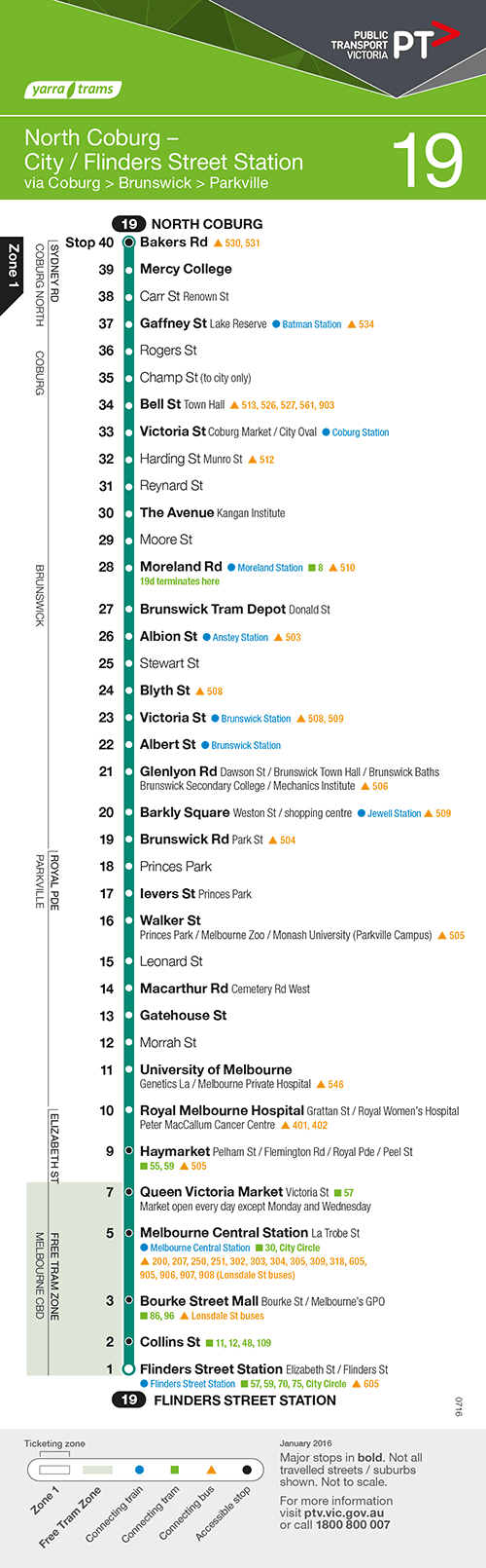
| Tram route 19 | Further information |
|---|---|
| Timetabled weekday peak frequency | 5 minutes (12 trams per hour) |
| Timetabled weekday off-peak frequency | 6 minutes (10 trams per hour) |
| Timetabled weekend daytime frequency | 7-8 minutes (7-8 trams per hour) |
| Timetabled night-time frequency | 20 minutes (3 trams per hour); 30 minutes/2 trams per hour (Sunday nights), 24/7 operation Friday/Saturday nights |
| Raised-platform stops? | Limited outside City of Melbourne. |
| Where do the trams go to sleep? | Brunswick Depot (Sydney Road, Brunswick) |
| Primary tram class that operates on the route. | D2 (5-section, low-floor, articulated) - details, see vicsig.net |
| Annual patronage and rank | 11,400,000 trips annually, Melbourne's 5th busiest Tram route. Source |
Sydney Road (South of Moreland Road)
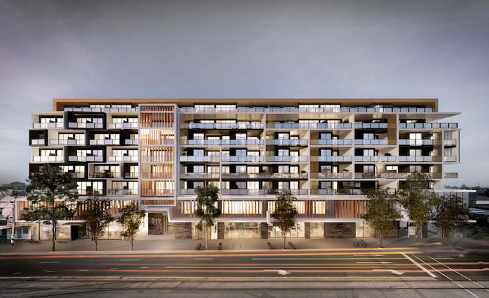
The cluster of development around Anstey Station is the main feature in this section of the 19 tram corridor, however there is quite a smattering of new development in the pipeline.
Much of the land between Sydney Road and the Upfield train line, south of Moreland Road, is zoned C1Z. The same being said for properties on the eastern side of the tram corridor and this has resulted in new pipeline projects being evenly spread from Anstey southwards.
South of Anstey, there are 13 projects on the tram 19 corridor, the retail heart of Brunswick.
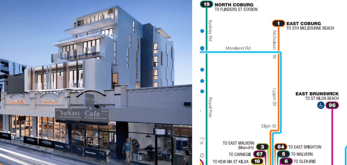
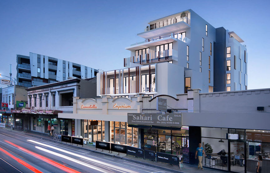
The Anstey cluster has 15 projects huddled between Sydney Road and the Upfield train line and there are a further three projects between Albion St and Moreland Road. Between Albion Street and Moreland Road, the width of the C1Z narrows to include only properties which face Sydney Road.
Of the combined 18 projects in this region, 3 are under construction, 5 are at sales, 8 sit at an approved status and the remaining 2 at planning assessment.
Sydney Road (North of Moreland Road)
As soon as the route 19 tram crosses Moreland Road, the most recent zone maps for Moreland show the zones switching from C1Z to ACZ1 fronting Sydney Road with "step-down" to General Residential Zone 1 on either side of Sydney Road. And this remains a feature all the way up to Bell Street and the Coburg activities centre.
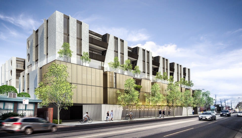
As discussed in the opening, development is concentrated south of Moreland Road and the thin strip of ACZ1 zoned properties between Moreland Road and the greater Coburg activities centre is quieter in terms of projects on the Urban.com.au Project Database.
We currently don't register any projects inside the Coburg activities centre at this time - this no doubt has something to do ongoing planning work in Coburg - however just north of Bell Street, both inside and outside the former Pentridge prison, there's a collection of projects.
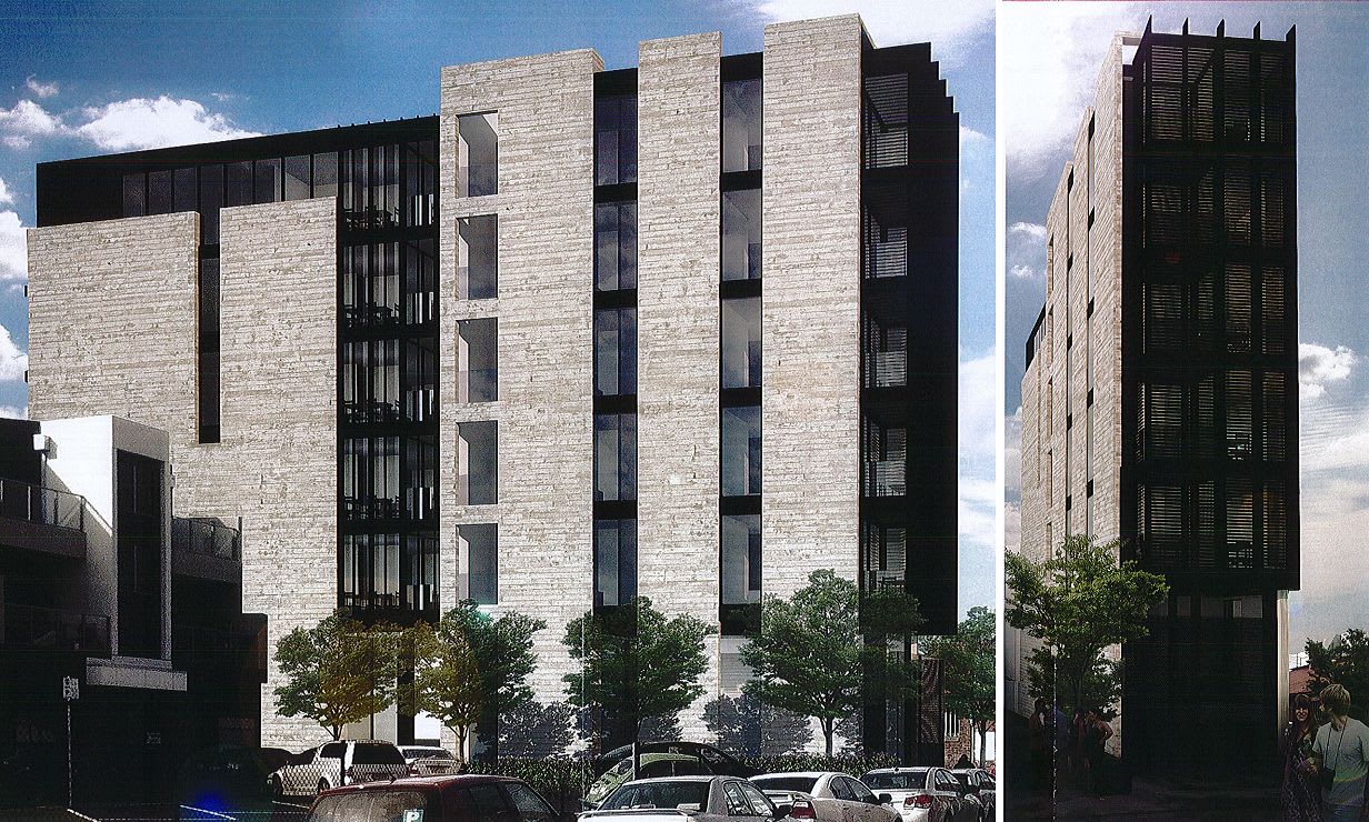
The projects shown above and below are indicative of the area: larger sites to develop on and that's translating into larger buildings when compared to Brunswick.
Future directions
It's a tough one actually. Sydney Road is perhaps one of the most development-friendly areas on the tram network given the vast amount of C1Z / Activity Centre zoned land.
On one hand, the Upfield train line as it stands has some of the lowest levels of service and the tram 19 has some of the highest levels of service. Over time, the goal should be to shift some of the load from the route 19 tram onto the Upfield train line, but this is not likely to happen for another decade.
That's because increasing frequencies on the Upfield line (and on the Craigieburn line) is dependent on the Sunbury line being removed from the city loop. This is going to happen, but only after the completion of the Melbourne Metro Rail project.
At the same time, the City of Moreland has one of the highest rates of cycling in Melbourne, yet the main thoroughfare is still clogged with cars which on the whole makes Sydney Road not the most pleasant urban environment to walk in. The car still dominates the landscape in this part of Melbourne.
Community initiatives such as Revitalise Sydney Road are seeking to engage with traders in the area to make Sydney Road far more pleasant and it will be interesting to see how the new City of Moreland council proceeds during the next term.
Unlike the East and South of the tram network, there is no cross-town Tram route outside of central Melbourne in the north. Cross-town public transport in Brunswick and Coburg is provided by several bus routes which have varying levels of service.
As you'll see in the next two articles in this series, the City of Moreland is shouldering a lot of the out-of-Central Melbourne development burden, directly on tram corridors and while this radial transit is likely to need the most focus to increase capacity as Brunswick sees more and more people move in to the area, cross-town transit will also need a good seeing to.
Especially along Moreland Road where at major intersections (with tram lines no less), there is likely to be increased development focus thanks to more generous high-density zoning.